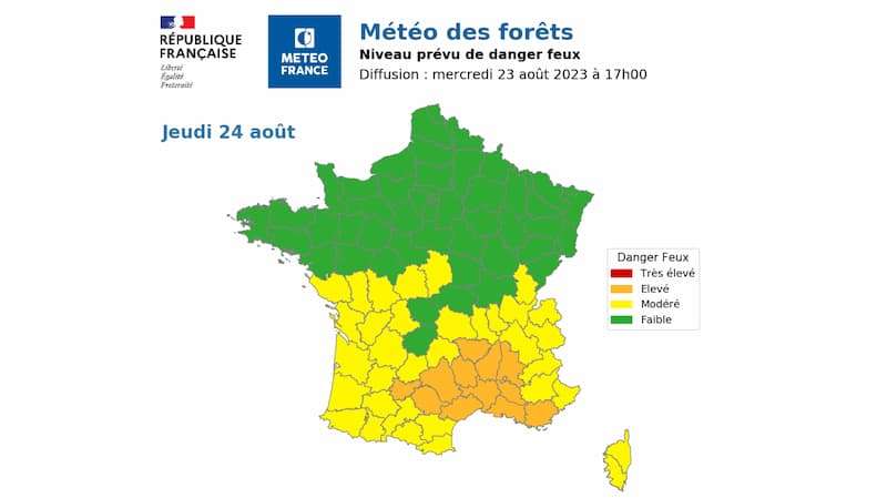
DAILY maps from Météo France show the risk of forest fires across the different départements of France.
The Météo des Forêts service shows which areas of France face potential problems from forest fires, providing an overview of the situation.
The maps are colour coded with green being the lowest level, then yellow signifying a moderate risk, orange means a high risk and red is very high.
The service publishes new maps at 17h providing information for the next day and the day after, with the forecasts available from June to September.
The aim of the service is to make people aware of the areas of France that face a risk, and to ensure people take responsible actions and don’t increase the chance of fire.
It doesn’t provide ‘ground level’ warnings as this is the responsibility of the préfecture and local fire service, with information available via the préfecture website or mairie.
Restrictions that the préfecture could bring in include restricting access to woodland areas, banning the use of BBQs and fireworks and restricting the time work can take place in high risk areas.
Fire risk warning
The campaign to raise awareness of the risk of forest fires comes from the fact that nine out of ten fires are started by human actions, and with the average temperature in France heading upwards it is set to be a long running campaign.
Even something as simple as a small BBQ getting out of hand and grass nearby catching fire, or someone working with small machinery and tools in the forest that results in sparks catching light, can see the situation quickly get out of hand.

Smokers are also being warned of the risks of lighting up in the woods themselves, or throwing cigarette stubs out of the window of a moving car and it smouldering in the grass at the roadside.
Speed of fire spreading
The campaign also highlights the risk of the speed with which a fire can spread, stressing that whilst you think you might have everything under control fires spread quickly.
With the right conditions such as a strong wind, a fire can spread across a kilometre in just ten minutes, with the danger of burning embers landing in other areas and starting new fires.

Cut the risk of forest fires
Some forests have already been closed to visitors, these fall under a vigilance rouge warning, so if you are in an area of risk be aware of where you can and cannot visit.
But simple steps such as not smoking in wooded areas, only having a BBQ on a patio or terraced area and not having celebratory fireworks regardless of the occasion are some of the measures people can take.
Working in forest zones can also be a risk especially on campsites with tools such as an angle grinder or soldering station, and ensure you have a fire extinguisher to hand.
Although the pompiers and other forestry organisations are on full alert to spot outbreaks of fire, if you are close to the start of a fire call 112 or 18 and provide an exact location.
During the summer months there is also the possibility of you facing water restrictions and another mapping service is available for up to date information